حول FloodNet
FloodNet’s mission is to develop tools for real-time urban flood monitoring, implement these tools to measure flooding in New York City, and make flood data and monitoring tools available in a manner that is accessible and useful to stakeholders including residents, community-based organizations, government agencies, and researchers.
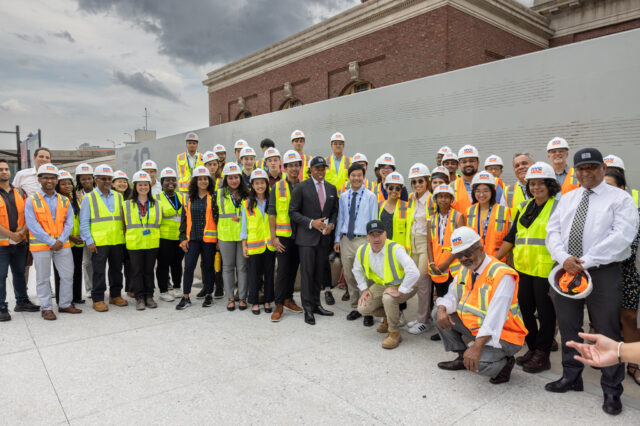
The FloodNet team is composed of researchers and other professionals at New York University, the City University of New York, and New York City government agencies who work in collaboration with stakeholders to collect and share data that contribute toward flood risk mitigation and building community flood resilience.
The Flood Sensors
FloodNet sensors provide real-time information about flooding, including the presence, frequency, and depth of hyperlocal street-level flood events. The sensors use ultrasonic technology to collect depth measurements every minute and transmit the measurements wirelessly to servers. Flood data is publicly accessible, and displayed on the FloodNet data dashboard in real-time. The sensors operate independently of existing power and networking infrastructure and the information collected can help residents make critical decisions during flooding events such as which streets are safe to use, and whether or not their home will be impacted.
The Data Dashboard
All FloodNet sensor data can be viewed publicly on our data dashboard. It shows where each FloodNet sensor is located, as well as the depth measurement values each sensor is taking in real time. Users can click on a sensor icon to view that sensor’s data. There is also a “List” view where users can scroll to view recent data from all flood sensors. This is a useful tool for identifying locations that have flooded in the 48 hours following a flood event.


