About FloodNet
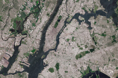
The City has been working in collaboration with communities and researchers to understand the frequency, severity, and impacts of flooding in New York City. Through FloodNet, the City partners with a network of researchers and community groups to install real-time sensors that can provide data on the presence, depth and frequency of street flooding. The data from this initiative will contribute to a new effort to quantify and map the compound effects of extreme rainfall, higher seas and higher water tables. Current flood maps depict these climate-related hazards separately, but looking at the compound effects of these processes, we will identify more proactive measures to ensure the safety of residents and critical infrastructure.
The data and knowledge gained can be used by local residents, researchers, city agencies, and others to advocate around and work to reduce flood risk. FloodNet brings together innovative sources of information on street flooding impacts in neighborhoods that are vulnerable to high tides, storm surge, and stormwater runoff.